Call us at (800) 511-6398
Contact us and see what NetOwl can do for you!
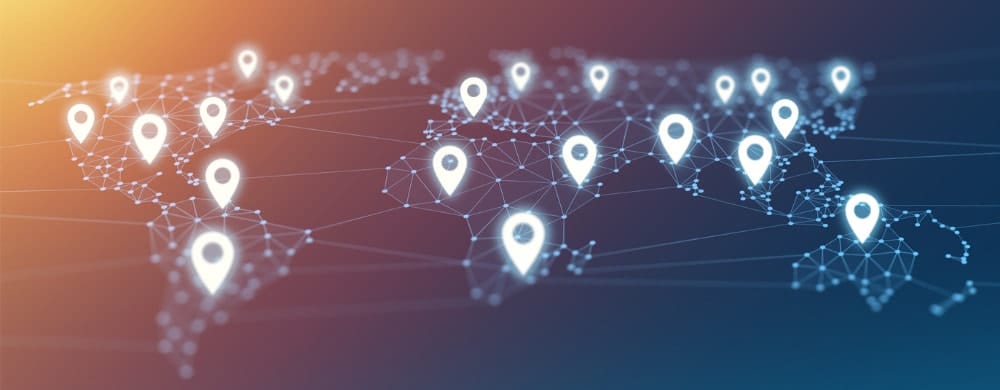
Geotagging, Homeland Security, Intelligence Analysis, Risk Management
Geotagging finds the geographic coordinates of place names mentioned in unstructured text. For example, consider the following unstructured text:
“Mount Vernon” is a name that refers to an actual physical location. Geotagging determines what that location is and produces the latitude/longitude coordinates for it, in this case, 38°44′07″N 77°05′43″W.
In the following we’ll discuss how Geotagging works and also how useful and valuable it is.
(By the way, the Geotagging we’re discussing is not the adding of geo-locational metadata to various media such as photos, social media posts, videos, etc., which is a frequent meaning. We are referring to locating on a map a place name that is mentioned in unstructured text.)
Geotagging is critical to many Government and commercial applications because it makes texts available for geospatial analysis using a variety of geographic information systems (GIS).
GIS systems such as the ones provided by ESRI and other companies traditionally visualize on maps information that is already structured. An example in a Government context would be a list of locations of military installations along with their latitudes/longitudes. This list may be resident in a database with the name of the installation and the associated latitude/longitude in two different fields. This structured locational data can simply be input to a GIS product following, if necessary, a transformation of the data into the product’s proprietary input format or an open standard.
By contrast, Geotagging focusses on unstructured data containing locational information. Unstructured data refers to any natural language text produced by humans such as news, social media content, web pages, etc. Naturally, unstructured data contains place names and other locational information which are of great value. Geotagging offers the capability of transforming this unstructured locational data into structured locational data.
There are many areas where Geotagging is useful:
Geotagging involves multiple steps:
Geotagging provides the capability of deciding which is the right candidate by analyzing other place names and indicators in the surrounding context to rank the coordinate candidates.
Geotagging may sound straightforward, but it’s actually quite challenging for the following reasons:
Geotagging has usually been limited to place names, but by utilizing relationship extraction and event extraction, events as well as other types of entities that are linked to places can be analyzed geospatially.
To take the first example, Event Extraction will produce the following structured representation for it:
As with simple place names, geotagging can now geoenable this now-structured data by placing a person icon for John Roberson on Beirut (or any other places he traveled to) on a map. Events such as an individual’s movements can now be tracked and analyzed in an entirely visual way.
In sum, Geotagging is a critical technology for maximizing the value of geospatial information found in your unstructured text sources. Crucial information is increasingly found in unstructured, natural language data, and Geotagging allows it to be combined with already structured data for more complete analysis.

March 03, 2026

February 26, 2026

January 30, 2026