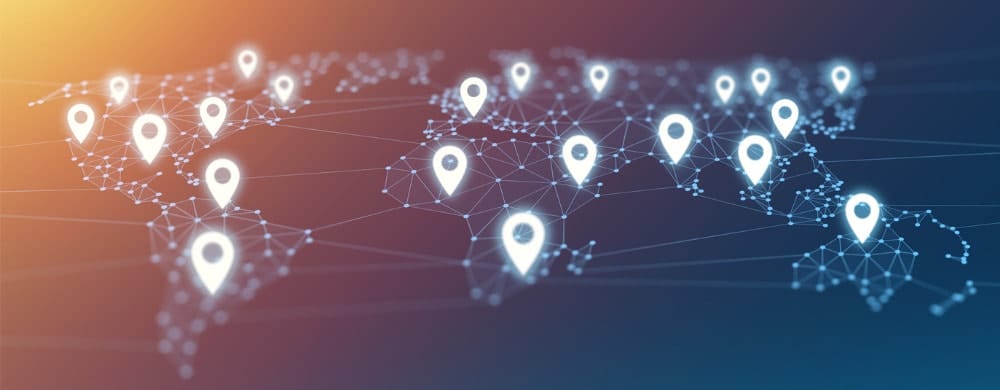
What does Geotagging do?
Geotagging finds the geographic coordinates of place names mentioned in unstructured text. For example, consider the following unstructured text:
“Abraham Lincoln lived in Springfield before he became president”
- Springfield (in Massachusetts)
- Springfield (in Illinois)
- etc.
Geotagging provides the capability of deciding which is the right candidate by analyzing other place names and indicators in the surrounding context to rank the coordinate candidates.
Why is Geotagging Challenging?
Geotagging may sound straightforward, but it’s actually quite challenging for the following reasons:
- Place names can be spelled differently than the names in the gazetteer, so the matching has to be fuzzy. Middle Eastern or Central Asian place names in English frequently exhibit varying spellings:
- Mazar-e Sharif vs. Mazir-i Sharif (city in Afghanistan)
- Place names can be ambiguous. For instance, many person names are also place names: Paris, Austin, Jordan, Washington, Lincoln, Clinton, etc. You don’t want to geotag a person name as a place!
- Locations may be described in relative terms (e.g., 100km northeast of Paris). Geotagging should be capable of calculating the precise geographic location even if it’s not named.
- Gazetteers may not be available for some languages. It is possible to use English language gazetteers for foreign names, but it requires a machine translation of names in foreign languages to English.
Advanced Geotagging
Geotagging has usually been limited to place names, but by utilizing relationship extraction and event extraction, events as well as other types of entities that are linked to places can be analyzed geospatially.
- Examples:
- Locations of a person who traveled to places:
- “John Robertson traveled to Beirut”
- Attack events in particular region
- “Three terrorists attacked a convoy in Kabul”
- Locations of outbreaks of diseases
- “Virginia reported 996 new cases of Corona virus yesterday”
- Locations of the offices of an organization
- “XYZ Corporation has its headquarters in Brussels”
- Locations of a person who traveled to places:
To take the first example, Event Extraction will produce the following structured representation for it:
Event Type: travel
Person: John Robertson
Destination: Beirut
As with simple place names, geotagging can now geoenable this now-structured data by placing a person icon for John Roberson on Beirut (or any other places he traveled to) on a map. Events such as an individual’s movements can now be tracked and analyzed in an entirely visual way.
Summary
In sum, Geotagging is a critical technology for maximizing the value of geospatial information found in your unstructured text sources. Crucial information is increasingly found in unstructured, natural language data, and Geotagging allows it to be combined with already structured data for more complete analysis.