NetOwl Extractor
Geotagging
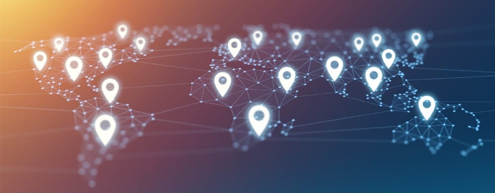
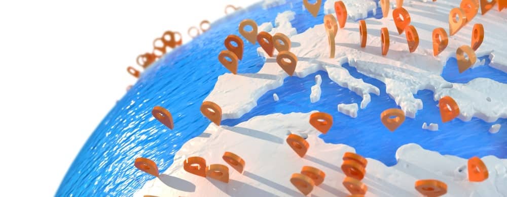
Geotagging is an AI-based Text Analytics technology to extract place names from text and assign latitude/longitude values to them. NetOwl’s Geotagging enriches unstructured data for advanced geospatial analysis.
Are London, Paris, and Virginia places?
At first glance, of course they are. But if “Jack London” wrote about Helen of Troy’s suitor “Paris” and his desire to name their first daughter “Virginia,” then of course these are not places.
Traditional geotagging of text often relies on simple look-up of place name lexicons, resulting in significant false positive problems due to geotagging of ambiguous names that are not actually places. NetOwl addresses this issue by leveraging NetOwl’s NLP-based entity extraction to identify and disambiguate among different entity types with high accuracy. Thus only actual place names are geotagged in documents.
Key Product Features
Accurate
Provides state-of-the-art geotagging accuracy even on noisy text.
Advanced Geotagging
Assigns latitude and longitude not only to places but also people, organizations, artifacts, and events.
Multilingual
Supports multiple languages, including English, Arabic, Chinese (traditional and simplified), French, German, Korean, Persian (Farsi and Dari), Russian, and Spanish.
Customizable
Provides an interface for easy integration with custom gazetteers. NetOwl includes USGS and NGA gazetteers.
Fast & Scalable
Extremely fast for real-time analysis. Highly scalable geotagging software with Docker and Kubernetes support.
Easy Integration
Easy-to-integrate geotagging product with a REST API. Pre-integrated with popular search and analytics tools like Elasticsearch and Esri ArcGIS.
But where is “Paris”?
Even among place names, however, there is ambiguity about which real-world location is being discussed. When “Paris” is identified as a location, which one is it? In France? In Texas? Somewhere else?
Among all the possible candidates from the gazetteer data, NetOwl’s Smart Geotagging selects the most appropriate location given the context provided by the text through a combination of advanced natural language processing and geospatial calculations. “I drove from Paris to Dallas” is most likely to be the “Texas” location, while “I visited Paris on my European vacation” is certainly discussing France. Smart Geotagging outputs a confidence ranking for each possible candidate.
More Than Just Named Places
In addition to geotagging named places, NetOwl assigns a latitude/longitude to relative locations like “20 miles southwest of Paris” by calculating it from the base location offset by the direction and distance.
In addition to extracting various latitude and longitude coordinate expressions, NetOwl also extracts MGRS and UTM coordinates from documents and converts them to latitude/longitude values.
Advanced Geotagging with Relationship and Event Extraction
Leveraging its intelligent relationship and event extraction capabilities, NetOwl geotags people, organizations, artifacts, and events mentioned in documents in addition to place names. This advanced geotagging capability opens up new ways to exploit unstructured text data for geospatial analysis. For example, the user can find who travelled to a specific place or where attack events took place geospatially on a map.
Instead of displaying all place names extracted from texts on a map, relationship and event extraction provides semantic context to place names, allowing the users to focus on only those that are important to them. Through an integration with the leading GIS provider ESRI’s ArcGIS suite, a NetOwl Extractor service with Smart Geotagging enabled allows individual users to process their own documents and generate a map view showing information about all linked entities and events that have been extracted for all of the locations in the text.
Deploy on Premise or in the Cloud
Geotagging Solutions

Intelligence Analysis

Social Media Analysis
Adverse Media Monitoring
Trusted by leading global organizations

Featured Blog Posts
What is Geotagging?
Geospatial analysis has traditionally relied on structured data, but there is much geospatial information in unstructured text.
How to Choose a Geotagging Product
Here are 8 questions to ask before purchasing a geotagging product

Geotagging Text for Advanced GIS
GIS tools rely mostly on structured data, but what about all the geospatial intelligence buried in unstructured data?
Discover what NetOwl can do for you!

Schedule a demo
Request a no-cost evaluation
Request our whitepaper